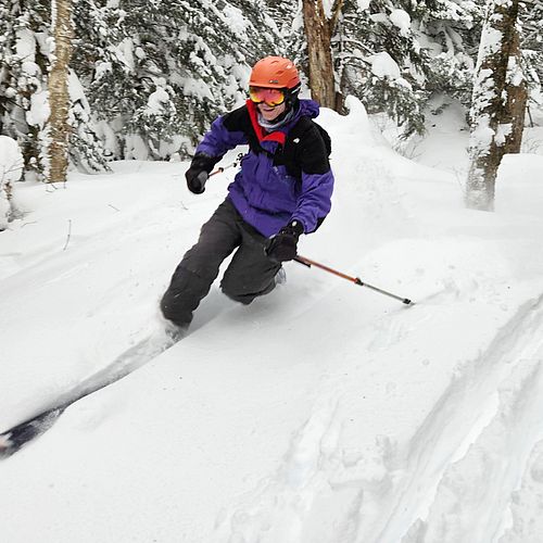
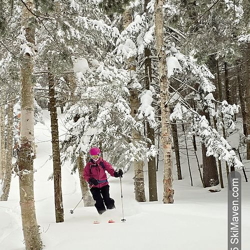
I love it when the National Weather Service forecast uses two-digit figures. As of Wednesday late-afternoon, we're looking at a storm from tonight to Friday morning to drop more than 10 inches of snow around Vermont. Likely more in the mountains.
Yippee!
Follow this link to keep track of <link http: www.erh.noaa.gov btv html snow.shtml external-link-new-window external link in new>NWS storm forecasts (like the image below) and snowfall totals in Vermont. You can probably guess that I'll be checking it often, too!
And if you are going to be driving sometime during or after this dump, check this site for <link http: vtransmaps.vermont.gov vtrans511 external-link-new-window external link in new>updated Vermont road conditions. Please drive slowly and carefully!


